Discover the Best Marine GPS Systems for Safe Sailing
When you're shopping for the best marine GPS systems, a few names always rise to the top: Garmin's GPSMAP series, Simrad's NSX line, and the HDS Live units from Lowrance. But "best" isn't a one-size-fits-all label. The right choice really comes down to your boat, your budget, and what you do out on the water—whether you're a serious offshore angler or just cruising on the weekends.
Why a Modern Marine GPS Is Essential for Navigation
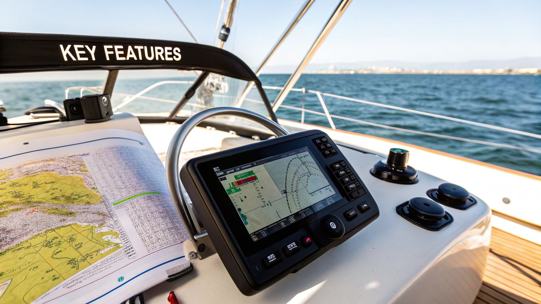
A reliable marine GPS isn't a luxury anymore; it’s the heart of any modern boat. We're long past the days of simple dots on a screen. Today’s units are full-blown multi-function displays (MFDs) that act as a command center, pulling chartplotting, advanced sonar, and radar into one intuitive hub for complete situational awareness.
These systems do more than just get you back to the dock. They're critical for safety, efficiency, and success in specialized activities. For instance, the detailed charting and tracking capabilities are indispensable for complex operations, like ensuring safe and successful manta ray night dive adventures.
To figure out which system is the right fit for your helm, we need to compare them based on a few key things:
- Display Quality: Can you actually see the screen in direct, glaring sunlight? How does it hold up in rough conditions?
- Integration Capabilities: How well does it play with other electronics? We're talking radar, sonar, autopilot, and more.
- User Interface: Is it easy to use, especially with wet or cold hands? How responsive is the touchscreen?
The market for this gear is massive, and it's only getting bigger. The global marine GPS equipment market is expected to jump from $2.5 billion in 2025 to roughly $4.2 billion by 2033. This growth is all about new tech and a serious focus on keeping boaters safe out on the water.
A modern marine GPS does so much more than just show your location—it interprets the entire marine environment for you. It reveals underwater structures for fishing, tracks other vessels to avoid collisions, and pulls in critical weather data. It completely changes how you interact with the water.
This guide will break down the features, performance, and best-use cases for the top marine GPS systems out there, so you can make a smart, confident decision for your boat.
Decoding the Core Features of Marine GPS Systems

To pick the right marine GPS, you have to speak the language. The tech jargon can feel a bit overwhelming at first, but every term is tied to a feature designed to make your time on the water safer and more successful. Getting a handle on these core functions is the first step to making a smart buy.
The heart of any modern setup is the chartplotter, which is really just a fancy term for a screen that lays your GPS position over detailed electronic charts. But these days, most units are actually Multi-Function Displays (MFDs). Think of an MFD as the command center for your entire boat, pulling sonar, radar, and even engine data onto one screen. This is what turns a simple navigation aid into a powerful tool.
Seeing Beneath the Surface with Advanced Sonar
One of the biggest game-changers for anglers has been CHIRP (Compressed High-Intensity Radiated Pulse) Sonar. Old-school sonar just pings a single frequency. CHIRP, on the other hand, sends out a whole sweep of frequencies at once.
The result is an absolute flood of data coming back to your unit, which translates into incredibly sharp, high-resolution pictures of the bottom and the fish. It’s like switching from a blurry black-and-white photo to a crystal-clear digital image.
On top of CHIRP, most systems now offer specialized imaging that gives you an even better picture of what's going on down there:
- Down Imaging: This gives you a photo-like view of the structure and fish that are directly under your boat.
- Side Imaging: This is your wide-angle lens, scanning the water to the left and right of your boat. It’s perfect for quickly covering big flats or finding hidden structure along a weed line.
When you put CHIRP, Down, and Side Imaging together, you get a complete, 3D picture of the underwater world. You can spot a promising rock pile from a hundred feet away with Side Imaging, then motor over it for a detailed look with Down and CHIRP.
Networking and Safety Integration
Modern marine electronics aren't standalone gadgets; they're designed to talk to each other. Two key technologies make this seamless communication possible, and they’re what really separate the best marine GPS systems from the rest.
The first is the Automatic Identification System (AIS), a critical safety feature. AIS uses VHF radio signals to broadcast your boat's identity, position, and course to other vessels with AIS. Your MFD plots this data on the chart, letting you see—and be seen by—commercial ships and other boaters. This dramatically cuts down the risk of a collision, especially in fog or at night.
All this connectivity is powered by NMEA 2000. It's basically a plug-and-play network for all your marine electronics, allowing devices from different brands to share information without a fuss. With an NMEA 2000 network, your GPS can show engine RPMs, track fuel flow, and even steer your autopilot. Understanding this backbone is key to building a rig that's both capable and ready for future upgrades.
Head-to-Head Comparison of Top Marine GPS Models
Choosing between the best marine GPS systems often feels like picking a side in a long-standing rivalry. The three dominant players—Garmin, Simrad, and Lowrance—each bring a unique philosophy to the helm. Understanding their subtle differences is key to finding the perfect match for your vessel.
We're going to move beyond the spec sheets and explore how these units actually perform in the real world.
Our comparison focuses on four critical areas that directly impact your experience on the water. These are the factors that matter most when the sun is glaring, the seas are choppy, and you need information at a glance. We’ll analyze screen performance, user interface design, cartography options, and how well each system integrates with your other on-board electronics.
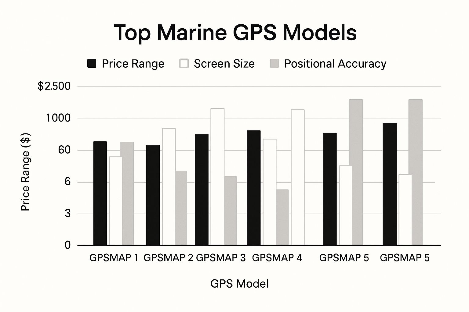
This chart gives you a quick snapshot of several popular models, comparing their price points, screen sizes, and typical accuracy.

As you can see, larger screens and higher price points often go hand-in-hand, but the good news is that positional accuracy remains consistently high across the board.
Feature Breakdown of Top Marine GPS Systems
To really dig into the details, a side-by-side look at the core specs is invaluable. This table breaks down what each of the big names brings to the table across their most popular product lines.
| Feature | Garmin GPSMAP Series | Simrad NSX Series | Lowrance HDS Live Series |
|---|---|---|---|
| Primary Cartography | Navionics+ & Vision+ | C-MAP Discover X & Reveal X | C-MAP Discover & Reveal |
| Sonar Technology | CHIRP, ClearVü, SideVü | Active Imaging™, FishReveal™ | ActiveTarget™, Active Imaging™ |
| User Interface | Icon-based, smartphone-like | Hybrid Touch/Rotary Dial | Touchscreen with Hotkeys |
| Screen Technology | Anti-glare IPS Touchscreen | SolarMAX™ IPS Touchscreen | SolarMAX™ HD Touchscreen |
| Special Feature | Auto Guidance+ Routing | Advanced Integration, Radar | ActiveTarget™ Live Sonar |
| Best For | Ease of use, recreational boaters | Advanced users, system customizers | Serious anglers, tournament fishing |
This isn't about one being "better" than another, but rather which one aligns with how you boat. A tournament angler has vastly different needs from a family out for a weekend cruise.
Screen Readability and Touchscreen Response
The quality of a display becomes painfully obvious in direct sunlight. A screen that washes out isn't just an annoyance; it's a legitimate safety issue.
Garmin’s GPSMAP series is widely praised for its incredibly bright, anti-glare screens. They stay crisp and clear even under the harshest midday sun. Their touchscreens are also remarkably responsive, performing well with wet fingers or when spray hits the display—a crucial advantage when conditions get sloppy.
Simrad’s NSX and NSS Evo series also offer excellent visibility with their SolarMAX IPS displays, which provide fantastic viewing angles. This is a huge plus if your helm allows you to see the screen from multiple positions. Their touchscreens are snappy, though some users find they need a slightly more deliberate touch than Garmin's when wet.
Key Differentiator: Garmin often has a slight edge in raw brightness and wet-finger touchscreen performance. This makes it a top choice for open-cockpit boats where the display is constantly exposed to the elements.
User Interface and Intuitiveness
How you interact with your chartplotter determines how fast you can access critical data. Each brand approaches this very differently.
Garmin’s interface is often compared to a smartphone—it’s clean, icon-driven, and built to be immediately understandable. If you want a "plug-and-play" experience without a steep learning curve, Garmin is often the easiest to master. The menu structure is logical and gets you to essential functions with minimal fuss.
Simrad, on the other hand, offers a more customizable and powerful interface that really appeals to advanced users. It combines touchscreen controls with a physical rotary dial and keypad, giving you precise control in rough seas when jabbing at a touchscreen is next to impossible. It takes longer to learn, but the ability to tailor shortcuts is a huge benefit for serious mariners.
Lowrance, which shares some tech with Simrad, strikes a nice balance. The HDS Live series has an intuitive touchscreen but also includes programmable hotkeys for one-touch access to your favorite screens, like a split view of charts and side-scan sonar.
Cartography and Mapping Options
Your GPS is only as good as the charts it displays. Outdated or incomplete mapping isn't just frustrating; it can be downright dangerous. The satellite imagery on a standard mapping card can be years old, failing to show recent changes from erosion, siltation, or hurricane damage.
This is a massive problem in dynamic coastal areas where what looks like open water on your chart could actually be a shallow mudflat. That's where the native cartography ecosystems of each brand become so important.
- Garmin (Navionics): Known for its all-in-one Navionics+ and Vision+ charts, Garmin provides exceptional detail with features like Auto Guidance+ and a user-generated SonarChart™ layer for high-definition bottom contours.
- Simrad & Lowrance (C-MAP): These brands use C-MAP charts, which are celebrated for their detailed vector data, Genesis Live real-time mapping, and powerful routing features. Anglers often rave about C-MAP for its detailed representation of bottom structure.
The choice often comes down to personal preference and which one offers better coverage in your specific boating area. Both offer subscription-based updates to ensure you have the most current information—a non-negotiable for safe navigation. Relying solely on the imagery from an old card without doing your own homework is just asking for trouble.
How to Choose a GPS for Your Boating Style
Picking the right marine GPS isn’t about grabbing the most expensive unit off the shelf. It's about matching the tech to what you actually do on the water. The best system for a serious tournament angler is complete overkill for a casual pontoon cruise, and the reverse is just as true.
Before you start comparing models, you have to figure out your primary boating style. This is the first—and most important—step toward making a smart investment. Once you know your needs, you can zero in on the features that will genuinely make your time on the water better, instead of paying a premium for advanced functions you'll never touch. Let's break down the ideal setups for three common types of boaters.
The Dedicated Coastal Angler
For the inshore and coastal angler, it's all about one thing: finding fish. Your GPS needs to be a fish-finding machine first and a navigation tool second. The most valuable features are the ones that reveal underwater structure with almost surgical precision.
This means you should be prioritizing a system with high-definition SideScan and DownScan sonar. For locating submerged rock piles, brush, and the channel edges where fish love to hang out, these technologies are non-negotiable. When you pair them with advanced CHIRP sonar, you get an incredibly clear picture of what’s happening right under your boat.
Here are the must-haves for any serious angler:
- High-Detail Cartography: You need charts with one-foot contours. The ability to create your own real-time maps (Genesis Live or SonarChart Live) is also essential for dissecting structure and finding hidden spots.
- Waypoint Management: An intuitive system for quickly marking, naming, and organizing waypoints is critical. When you find a hot spot, you need to be able to get back to it, no questions asked.
- Trolling Motor Integration: The ability to link your GPS to a modern trolling motor is a true game-changer. Features like autopilot and Spot-Lock let the boat do the work while you focus on casting.
The Long-Range Offshore Cruiser
Once you start venturing far from shore, your priorities shift dramatically. It's less about finding fish and more about safety and total situational awareness. For the offshore cruiser, the best marine GPS systems are robust command centers built around redundancy and powerful networking.
Your MFD becomes your lifeline offshore. It's less about seeing a fish on a ledge and more about seeing a freighter on a collision course or a storm cell building 30 miles away. Integration isn't a luxury; it's a necessity.
Key technologies for cruisers include radar integration for navigating safely in fog, rain, or at night. Robust weather overlays are just as critical, providing real-time data on wind, waves, and storms. Most importantly, a reliable Automatic Identification System (AIS) is crucial for tracking commercial vessel traffic and avoiding collisions. It's no surprise that over 80% of global trade volume relies on similar advanced navigation for safety and efficiency.
The Family Pontoon and Day Cruiser
If your perfect day involves cruising the lake with family and friends, your GPS needs are simpler but just as important. The focus here is on ease of use, entertainment, and fundamental safety. You can skip the tournament-grade sonar, but a clear, bright display and simple navigation are key.
Look for a unit with a bright, intuitive touchscreen that’s easy for anyone to read, even in direct sunlight. The core functions you need are a reliable chartplotter with basic depth information and a simple way to mark waypoints for saving favorite coves or sandbars.
Many modern MFDs also offer multimedia integration, which is a fantastic feature for this style of boating. It allows you to control your boat's stereo system right from the GPS display at your seat. For more on what to look for, check out our full guide on finding the best GPS for your boat.
Installation and Buying Considerations You Cannot Ignore

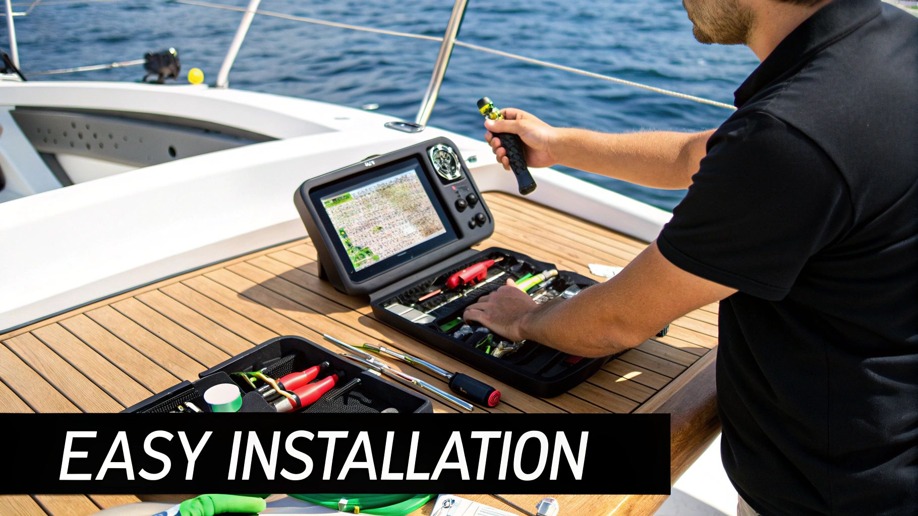
Picking out the best marine GPS is only half the job. The real magic happens when it's installed and configured correctly, and that's where a lot of people stumble. The most powerful chartplotter on the market is basically a paperweight if it's poorly placed, improperly wired, or hooked up to the wrong accessories. It's a common and surprisingly costly mistake to overlook these practical details.
A smart installation starts way before you drill the first hole. You have to think about the total cost, which goes far beyond the price on the box. Remember to factor in potential costs for a professional install, chart updates, and any essential add-ons like transducers or a radar dome.
Planning Your Helm and Transducer Setup
Your helm is prime real estate, and where you put things is everything. Your GPS display needs to be crystal clear from your main spot at the wheel, whether you're sitting or standing, all without blocking your view of the water ahead. It also has to be within arm's reach for tapping the screen, which is especially important when the seas get choppy.
The transducer is the eyes of your sonar, so its placement is just as critical. The right transducer for you depends entirely on your boat's hull.
- Transom-Mount: These are great for smaller outboard and I/O boats. Super easy to install.
- Thru-Hull: This is the way to go for larger inboard vessels. They sit flush with the bottom of the hull and give you the cleanest signal possible.
- In-Hull: A solid choice for solid fiberglass hulls. It shoots the sonar signal right through the fiberglass, so you don't have to drill a hole below the waterline.
A mismatched transducer will absolutely cripple your sonar's performance. You might get weak returns, lose track of the bottom when you're up on plane, or kick up a ton of spray. Don't skip the research on this—finding the right fit for your specific hull is non-negotiable.
Ensuring Reliable Power and Network Integration
Even the best marine GPS units are picky about their power. A clean, dedicated power supply isn't a suggestion; it's a requirement. If your power supply is connected to other equipment, like bilge pumps or trim tabs, you're asking for interference or random shutdowns. Always run dedicated, properly sized wiring straight to a fuse block or battery switch.
Finally, map out your network. Think about what other devices you’ll want to connect now or down the road using NMEA 2000. This could be anything from your VHF radio and engine gauges to more specialized gear. J
ust like you need the right tools for dropping your boat anchor, which is covered in this guide on various anchors for boats, you need a solid installation plan to secure your electronic investment. A little foresight here will give you a clean, reliable, and expandable system for years to come.
Frequently Asked Questions About Marine GPS

When you start digging into marine GPS systems, a few questions always seem to pop up. Getting straight answers is key to investing confidently in your boat’s electronics. We’ve pulled together the most common questions to give you the clarity you need.
Think of this as your guide through the big decisions, from picking the right unit for your boat to figuring out the whole world of electronic charts.
Chartplotter or Handheld GPS?
This is a big one: do I really need a full chartplotter, or can I get by with a handheld GPS? The answer comes down to your boat and how you use it.
For smaller boats like kayaks and dinghies, a handheld is a great, portable choice. It's also an essential backup on any larger vessel. You get your core position data without any complex installation.
But for most powerboats and sailboats, a fixed-mount chartplotter is the way to go. It’s the command center of your helm, offering a large, easy-to-read screen, much better chart detail, and the ability to connect with your sonar, radar, and autopilot. A handheld just can't fill that role. It's a foundational piece of a well-equipped vessel, as you'll see in our complete boat safety checklist.
Navionics Versus C-MAP Charts?
So, what’s the real story with Navionics and C-MAP charts? These are the two giants in electronic cartography. Navionics is owned by Garmin, while C-MAP is used by brands like Simrad and Lowrance. Both are excellent, but they have different flavors.
- Navionics is famous for its SonarChart™ layer. This feature uses data crowdsourced from other boaters to create incredibly high-definition bottom contour maps.
- C-MAP gets a lot of praise for its crisp vector charts and its Easy Routing feature, which automatically plots a safe course for you.
The best choice often comes down to what brand of MFD you own and which cartography style you prefer for your local waters. Your best bet is to look at samples of both for your home port before you buy.
How Important Is NMEA 2000?
Just how critical is NMEA 2000 compatibility? On a modern boat, it's absolutely essential. Think of NMEA 2000 as the universal plug-and-play language that lets all your marine electronics talk to each other, even if they're from different brands.
With an NMEA 2000 network, your GPS can show engine data, get heading info from a compass to overlay your radar, or even steer your autopilot. A GPS without this is basically an island—it severely limits what you can do with your boat's electronics now and in the future. It simply can’t be the integrated "brain" your boat needs.
At Better Boat, we're here to give you the essential gear and expert knowledge you need to keep your vessel in top shape. Check out our full range of maintenance products and accessories designed to make your life on the water easier.

